
Columbia River: Hydropower Cascades, Grand Coulee Dam & Pacific Salmon Run
Draining the Pacific Northwest, the Columbia River generates over 40% of US hydroelectric power through Grand Coulee and Bonneville while confronting severe anadromous salmon crises.
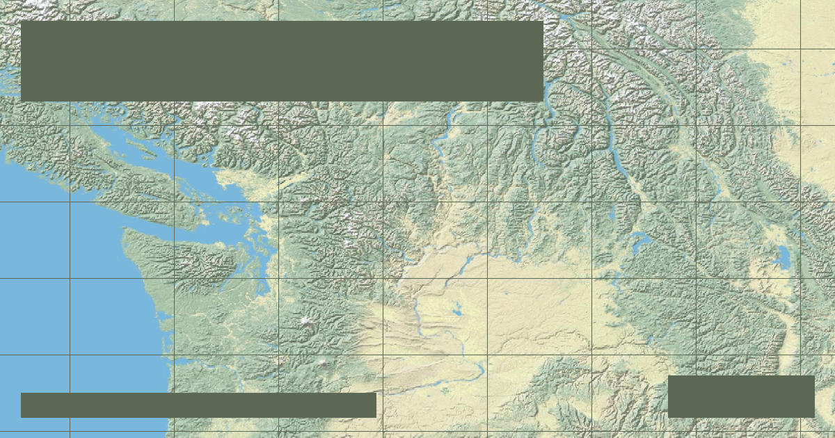
Flowing 1,243 miles (2,000 kilometers) from the Canadian Rockies of British Columbia to the Pacific Ocean at Astoria, Oregon, the **Columbia River** is the largest river by volumetric discharge flowing into the Pacific from North America. Averaging a mean discharge of **265,000 cubic feet per second (7,500 m³/s)**, the river\'s high gradient and immense volume make it one of the most engineered hydroelectric corridors on Earth.
### Geological Evolution & The Missoula Floods
The lower Columbia Gorge cuts cleanly through the uplifted basalt sheets of the Cascade Range. Between 15,000 and 13,000 years ago during the last glacial retreat, the repeated catastrophic rupture of ice-dammed Glacial Lake Missoula sent torrents of water surging down the Columbia corridor. These **Missoula Floods** carved massive coulees, dry falls, and scoured bedrock scablands across eastern Washington.
### Grand Coulee Dam & The Federal Columbia River Power System
The Columbia River basin hosts more than 40 major dams. The crown jewel is **Grand Coulee Dam**, located in central Washington:
- **Structural Type:** Concrete gravity dam
- **Structural Height:** 550 feet (168 meters)
- **Crest Length:** 5,223 feet (1,592 meters)
- **Generating Capacity:** 6,809 megawatts (MW)—the largest power station in the United States
- **Reservoir:** Franklin D. Roosevelt Lake, extending 151 miles north to the Canadian border
### Salmon Ecology & Passage Challenges
Historically, between 10 and 16 million wild anadromous salmon and steelhead (*Oncorhynchus spp.*) returned annually to spawn in upper Columbia tributaries. The construction of Grand Coulee (1941) and Chief Joseph Dam completely blocked fish passage to over 1,100 miles of upper habitat because no fish ladders were technically feasible over such high headwalls. Lower dams like Bonneville and The Dalles utilize complex fish ladders, juvenile bypass flumes, and spillway passage to sustain runs.
*Data Source: Bonneville Power Administration (BPA) & USGS Columbia River Hydro-Telemetry Station.*
Founder & Platform Administrator • The RiverAtlas Geographic Publishing Unit
Ammy Saini is the founder, chief administrator, and lead curator of The RiverAtlas (theriveratlas.info), directing global river hydrography, cartographic mapping datasets, and geographic publication integrity.
Related Geographical Research

Why the Mississippi River Wants to Shift to the Atchafalaya: The Old River Control Structure
How the US Army Corps of Engineers fights physics and fluvial avulsion to prevent the Mississippi River from abandoning New Orleans and Baton Rouge.

The Thames Barrier: Engineering Civil Protections for Tidal River Surges
How London protects 1.4 million residents and £321 billion in property from catastrophic North Sea storm surges using rotating steel gates.
Ohio River: Industrial Navigation, 20 Locks and Dams & Mississippi Confluence
Formed by the Allegheny and Monongahela in Pittsburgh, the 981-mile Ohio River contributes more volume to the Mississippi River than the Missouri, sustained by 20 modern lock and dam facilities.