Top 10 Longest Rivers in the United States (Ranked by Length & Discharge)
A definitive geographic ranking of America's longest waterways, exploring the Missouri-Mississippi system, Yukon, Rio Grande, and Columbia basins.
Highlighted studies selected for foundational scientific significance, transboundary relevance, and cartographic clarity.
A definitive geographic ranking of America's longest waterways, exploring the Missouri-Mississippi system, Yukon, Rio Grande, and Columbia basins.
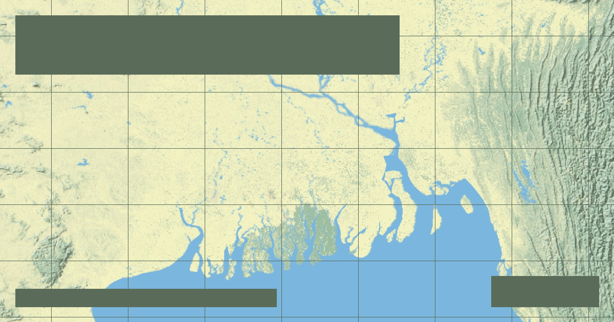
How Himalayan tectonic erosion feeds a colossal delta of 105,000 square kilometers, nurturing the Sundarbans mangrove wilderness and the Bengal submarine fan.
A geological examination of antecedent stream incision, Colorado Plateau tectonic uplift, and abrasive bedload hydraulics across 6 million years.
Why the Congo reaches staggering depths exceeding 220 meters and how its dual equatorial crossing creates a remarkably steady year-round discharge.
How the US Army Corps of Engineers fights physics and fluvial avulsion to prevent the Mississippi River from abandoning New Orleans and Baton Rouge.
How topographers delimit river catchment areas using digital elevation models (DEMs) and why drainage basins are the natural unit for environmental management.
Why measuring a river's precise length is far more complex than determining mountain heights, and how modern satellite telemetry has reopened the historic Amazon-Nile rivalry.
America's longest river spans 2,341 miles from Montana's Three Forks to St. Louis, driving Great Plains agriculture, six giant Pick-Sloan mainstem dams, and massive sediment transport.
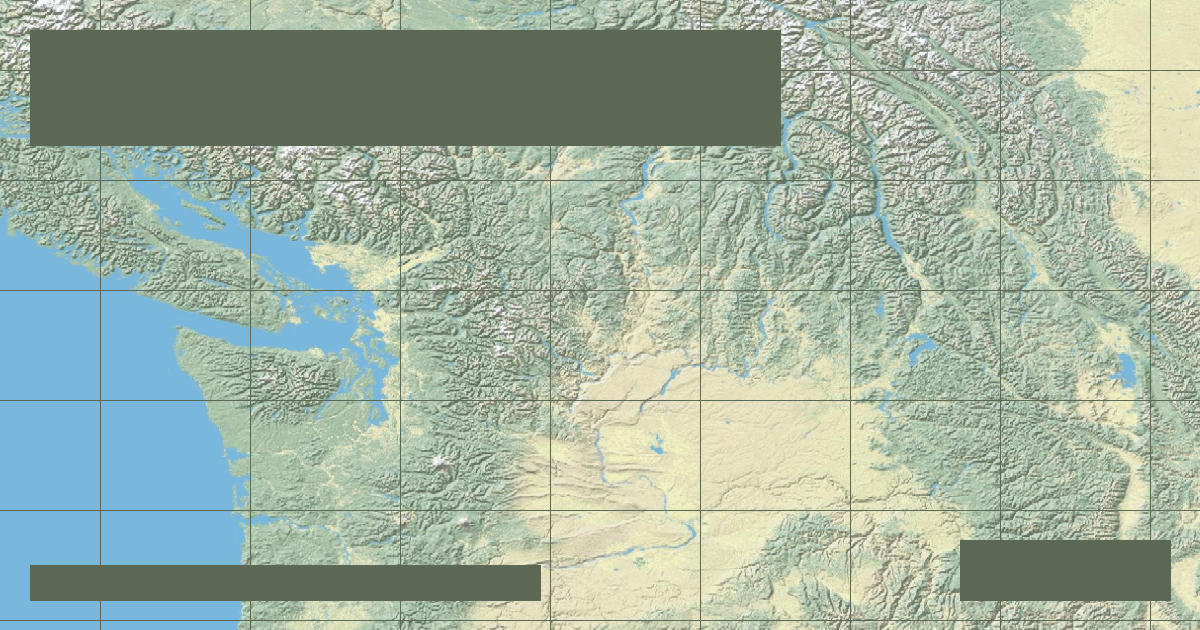
Draining the Pacific Northwest, the Columbia River generates over 40% of US hydroelectric power through Grand Coulee and Bonneville while confronting severe anadromous salmon crises.
The RiverAtlas uses essential cookies and local preferences to provide interactive cartography and analyze content usage according to our privacy guidelines.