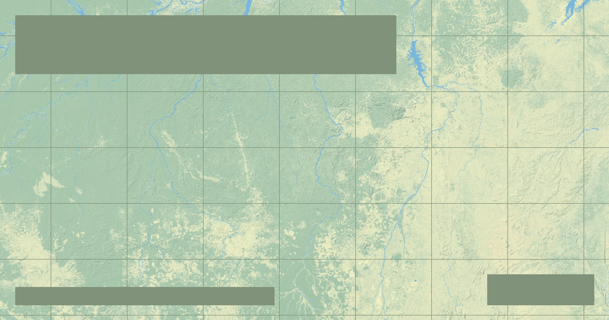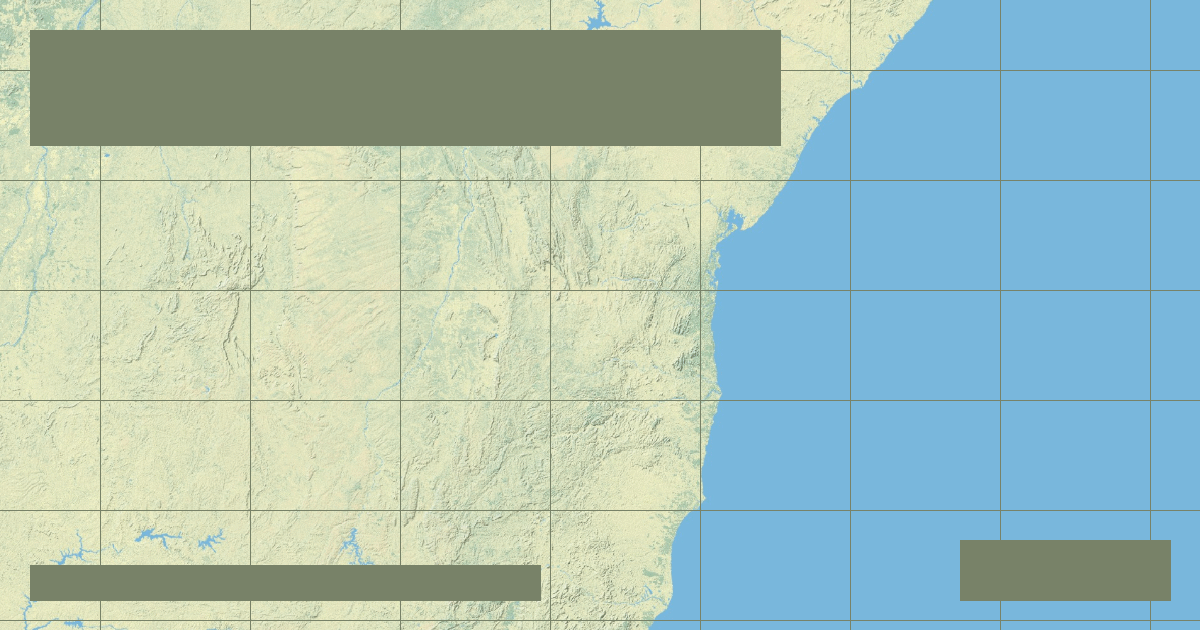
Rio São Francisco: Brazil's River of National Unity, Sobradinho Dam & Caatinga
Stretching 1,811 miles across eastern Brazil, the 'Velho Chico' cuts through the drought-prone semi-arid Caatinga to power the massive Sobradinho Dam.
In-depth studies in river hydrology, fluvial geomorphology, transboundary water treaties, and cartographic analysis.
Stretching 1,811 miles across eastern Brazil, the 'Velho Chico' cuts through the drought-prone semi-arid Caatinga to power the massive Sobradinho Dam.
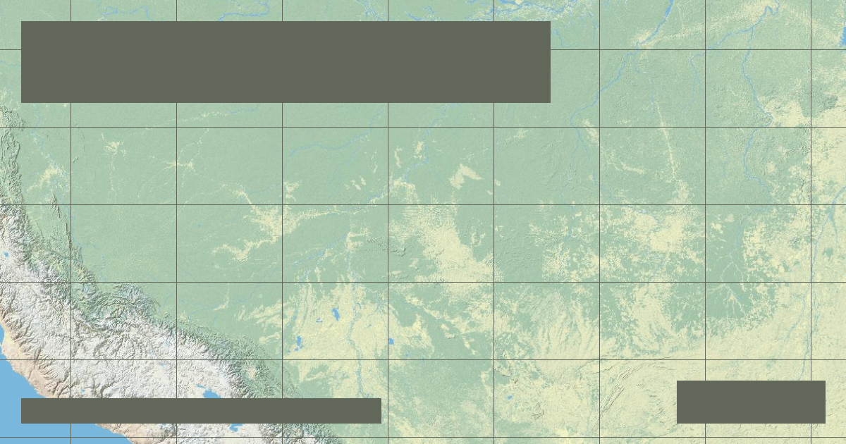
Carrying 50% of the entire Amazon Basin's suspended sediment load from the Bolivian Andes, the 2,100-mile Madeira fuels the Amazon's fertile floodplain ecology.
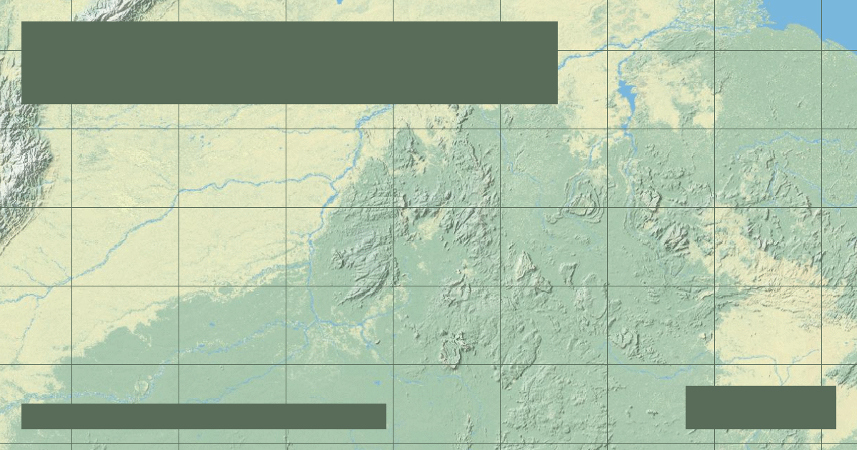
The world's largest blackwater river carries tannin-rich, tea-colored waters from Colombia and Venezuela to create the dramatic Meeting of Waters in Manaus.
Flowing 1,330 miles across Venezuela and Colombia, the Orinoco features the Casiquiare Canal—Earth's only major natural bifurcation linking two giant river basins.
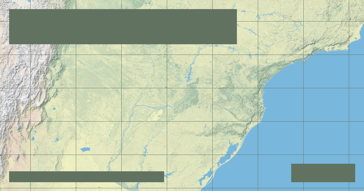
Second only to the Amazon in South America, the 3,030-mile Paraná hosts the colossal Itaipu Dam, which submerged the legendary Guairá Falls under its reservoir.
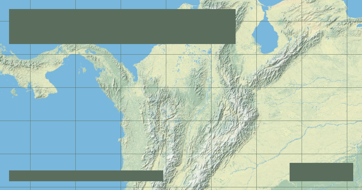
Flowing 949 miles between the Central and Eastern cordilleras of the Colombian Andes, the Magdalena is Colombia's historical economic and biological artery.
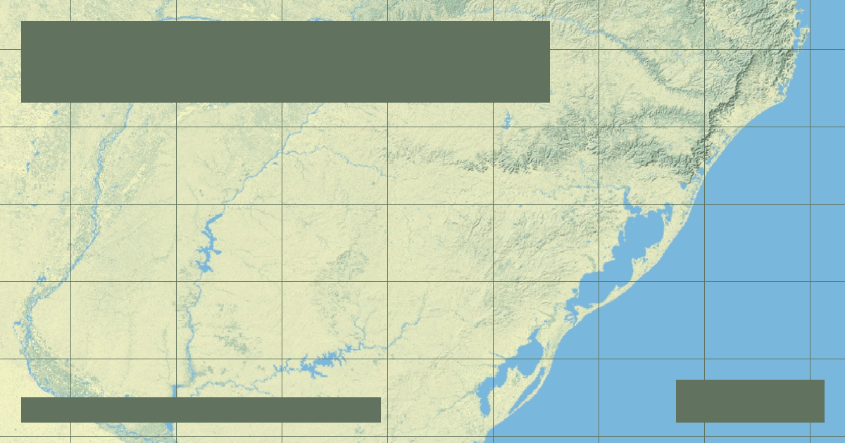
Marking the borders of Brazil, Argentina, and Uruguay over 1,142 miles, the Uruguay River cuts through the Serra Geral basalt plateau into the Río de la Plata.
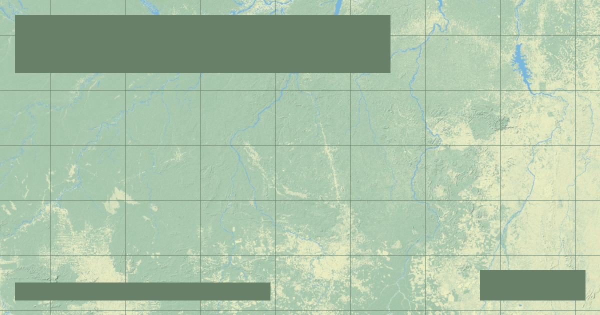
The 1,020-mile Xingu is home to the world's fourth-largest dam, Belo Monte, which diverts 80% of the Big Bend (Volta Grande) water flow from indigenous tribes.
Flowing 1,200 miles over the ancient Brazilian Shield, the Tapajós possesses transparent emerald-green waters that contrast sharply with the Amazon mainstem.
The RiverAtlas uses essential cookies and local preferences to provide interactive cartography and analyze content usage according to our privacy guidelines.