
Amazon River
Alternative / Indigenous / Local Names: Rio Amazonas, Río Marañón, Río Ucayali
The largest river in the world by water discharge volume, responsible for roughly one-fifth of the total global river flow to the oceans.
Verified Geographic & Hydrological Profile
ID: RVR-0001- Official Length
- 6,400 km (3,977 miles)
- Drainage Basin
- Amazon Basin (7,050,000 km²)
- Average Discharge
- 209,000 m³/s (7,380,772 cu ft/s)
- Source / Headwaters
-
Nevado Mismi / Río Apurímac (Arequipa Region, Peru)
(Elevation: 5,179 m / 16,991 ft)
Coords: -15.5167°, -71.7167°
- Mouth / Outflow
-
Atlantic Ocean (Amapá & Pará, Brazil)
Coords: -0.1667°, -49.0000°
- Countries Traversed
- 🇧🇷 Brazil (Primary) 🇵🇪 Peru
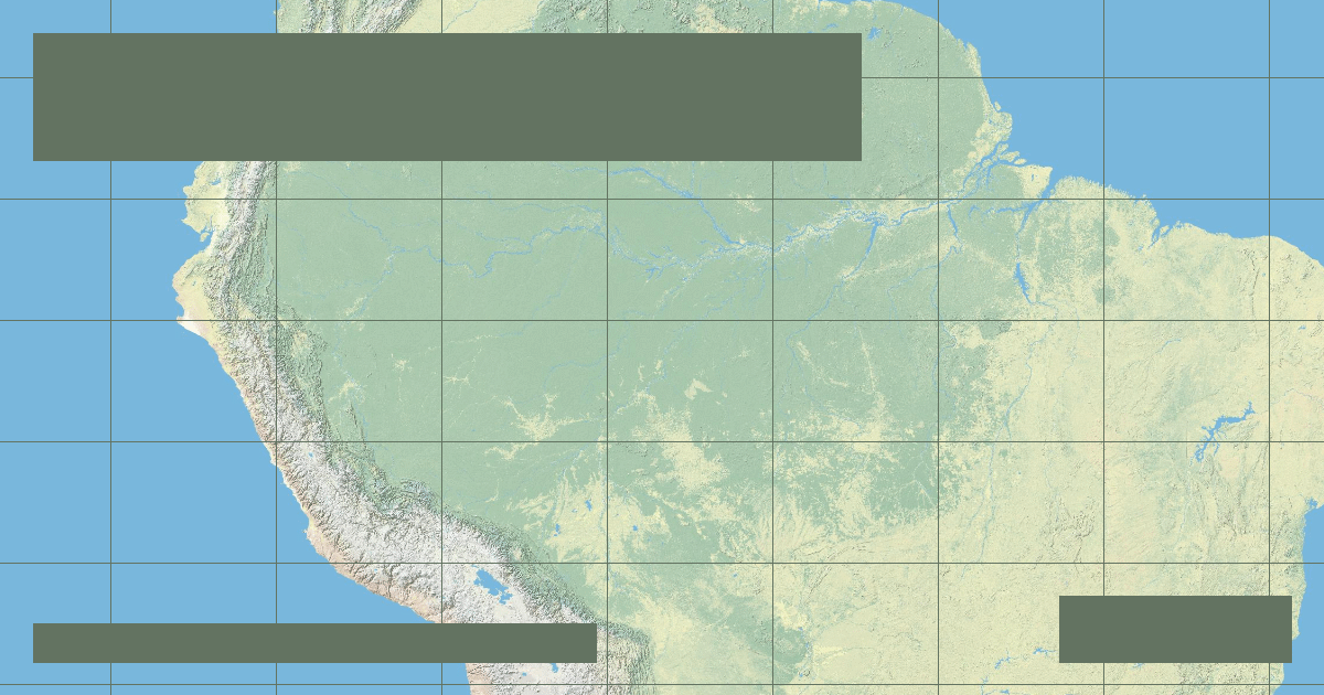
Interactive River Course Map
Geographical Overview & Course
Historical consensus has held the Nile at 6,650 km and the Amazon at 6,400 km. However, newer satellite-assisted expedition studies identifying the furthest headwaters via the Apacheta-Carhuasanta ravines argue for lengths up to 6,992 km. Peer-reviewed scientific consensus continues to cite 6,400 km until standardized global measuring criteria are universally adopted.
Ecological & Environmental Significance
The Amazon supports an estimated one in ten known species on Earth, including over 2,500 recorded fish species, the Amazon river dolphin (boto), and giant river otters. Its seasonal flood pulse (várzea) fertilizes vast floodplain ecosystems.
Economic Importance, Navigation & Human Settlement
Serves as the primary highway of the Amazon basin, allowing deep-draft ocean vessels to navigate 3,700 km upstream to Iquitos, Peru. Critical for regional fisheries and indigenous livelihood.
Sources, Citations & Cartographic Methodology
- HydroSHEDS / HydroRIVERS Global River Database — Lehner, B. and Grill, G. (WWF & McGill University) (2019) • Access Source