
Congo River
Alternative / Indigenous / Local Names: Zaire River, Fleuve Congo
The deepest recorded river in the world (surpassing 220 meters) and second only to the Amazon in discharge volume.
Verified Geographic & Hydrological Profile
ID: RVR-0005- Official Length
- 4,700 km (2,920 miles)
- Drainage Basin
- Congo Basin (4,014,500 km²)
- Average Discharge
- 41,200 m³/s (1,454,966 cu ft/s)
- Source / Headwaters
-
Chambeshi River / Lake Bangweulu headstreams (Zambia)
(Elevation: 1,760 m / 5,774 ft)
Coords: -11.9833°, 31.4000°
- Mouth / Outflow
-
Atlantic Ocean (Banana, Democratic Republic of the Congo)
Coords: -6.0667°, 12.3500°
- Countries Traversed
- 🇨🇩 Democratic Republic of the Congo (Primary)
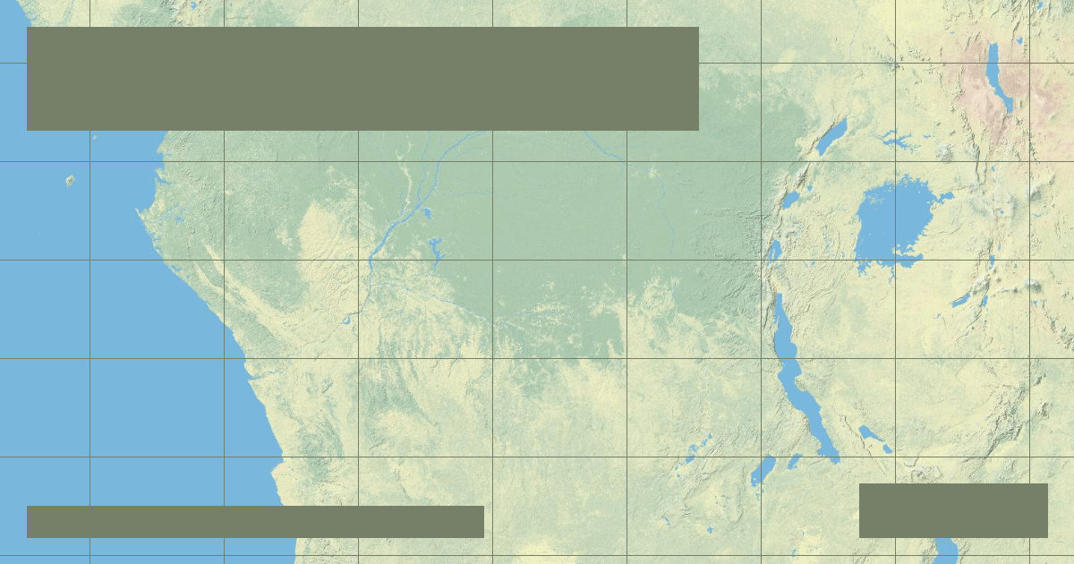
Interactive River Course Map
Geographical Overview & Course
Measured from the Chambeshi River source in Zambia, the length is 4,700 km. Measured strictly from the Lualaba River confluence, it is 4,370 km.
Ecological & Environmental Significance
The Congo River contains distinct hydrological microclimates that isolate fish populations within the water column, creating hyper-diversified endemic faunal assemblages.
Economic Importance, Navigation & Human Settlement
The Inga Falls dams represent one of the world's largest potential hydroelectric sites, capable of powering much of sub-Saharan Africa if fully developed.
Sources, Citations & Cartographic Methodology
- HydroSHEDS / HydroRIVERS Global River Database — Lehner, B. and Grill, G. (WWF & McGill University) (2019) • Access Source