
Ganges River
Alternative / Indigenous / Local Names: Ganga, Padma, Bhagirathi
A sacred lifeline for over 500 million people, flowing from Himalayan glaciers to the Bengal delta.
Verified Geographic & Hydrological Profile
ID: RVR-0006- Official Length
- 2,525 km (1,569 miles)
- Drainage Basin
- Ganges-Brahmaputra-Meghna Basin (1,721,300 km²)
- Average Discharge
- 16,650 m³/s (587,990 cu ft/s)
- Source / Headwaters
-
Gangotri Glacier / Gaumukh (Uttarakhand, India)
(Elevation: 4,100 m / 13,451 ft)
Coords: 30.9167°, 79.0833°
- Mouth / Outflow
-
Bay of Bengal / Sundarbans Delta (India & Bangladesh)
Coords: 22.0500°, 89.9000°
- Countries Traversed
- 🇮🇳 India (Primary)
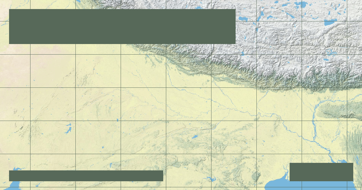
Interactive River Course Map
Geographical Overview & Course
Official Survey of India measurement records 2,525 km from Gaumukh to the Bay of Bengal.
Ecological & Environmental Significance
Home to the critically endangered Ganges river dolphin (Platanista gangetica), the gharial crocodile, and the Sundarbans mangrove tiger sanctuary.
Economic Importance, Navigation & Human Settlement
Irrigates millions of hectares of rice, wheat, and sugarcane, underpinning the food security of South Asia.
Sources, Citations & Cartographic Methodology
- HydroSHEDS / HydroRIVERS Global River Database — Lehner, B. and Grill, G. (WWF & McGill University) (2019) • Access Source