
Indus River
Alternative / Indigenous / Local Names: Sindhu, Daryā-e Sindh
The cradle of ancient Harappan civilization and the primary water artery sustaining Pakistan's 240 million citizens.
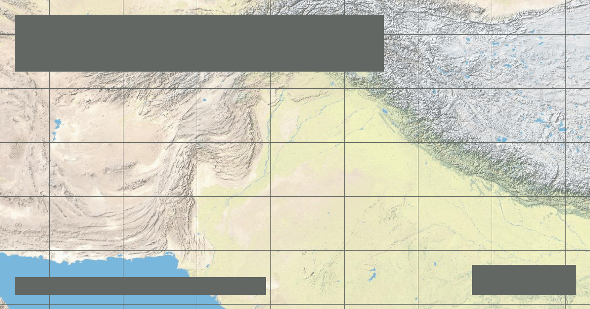
Verified Geographic & Hydrological Profile
ID: RVR-0018- Official Length
- 3,180 km (1,976 miles)
- Drainage Basin
- Indus Basin (1,120,000 km²)
- Average Discharge
- 6,600 m³/s (233,077 cu ft/s)
- Source / Headwaters
-
Sênggê Zangbo Spring, Tibetan Plateau
(Elevation: 5,300 m / 17,388 ft)
Coords: 31.2833°, 81.9833°
- Mouth / Outflow
-
Arabian Sea via Indus Delta (Sindh, Pakistan)
Coords: 23.9833°, 67.4333°
Interactive River Course Map
Geographical Overview & Course
Survey of Pakistan and international glaciologists record 3,180 km from the furthest Tibetan spring.
Ecological & Environmental Significance
Habitat of the endangered Indus River dolphin (bhulan), which is functionally blind and navigates the muddy riverbed exclusively by echolocation.
Economic Importance, Navigation & Human Settlement
Supplies the world's largest contiguous gravity-flow irrigation network, supporting the agricultural breadbasket of Punjab and Sindh.