
Zambezi River
Alternative / Indigenous / Local Names: Zambesi
The fourth-longest river in Africa, renowned for plunging over the 108-meter precipice of Victoria Falls.
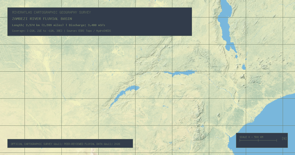
Verified Geographic & Hydrological Profile
ID: RVR-0020- Official Length
- 2,574 km (1,599 miles)
- Drainage Basin
- Zambezi Basin (1,390,000 km²)
- Average Discharge
- 3,400 m³/s (120,070 cu ft/s)
- Source / Headwaters
-
Mwinilunga Dambo Swamps (Zambia)
(Elevation: 1,500 m / 4,921 ft)
Coords: -11.3667°, 24.3167°
- Mouth / Outflow
-
Indian Ocean via Zambezi Delta (Mozambique)
Coords: -18.8333°, 36.2833°
Interactive River Course Map
Geographical Overview & Course
Verified by Zambezi Watercourse Commission (ZAMCOM).
Ecological & Environmental Significance
Feeds pristine floodplains including the Barotse Floodplain and Mana Pools National Park, supporting vast herds of elephants, hippos, and Nile crocodiles.
Economic Importance, Navigation & Human Settlement
Hosts two of Africa's largest hydro impoundments: Lake Kariba (the world's largest man-made reservoir by volume) and Cahora Bassa.